
Expertise
Your challenges, our expertise: solutions tailored to your needs
Our mission is to empower organizations with data-driven solutions that enhance community well-being, optimize resources, and foster success through innovation and collaboration.
Sectors
Who We Serve


What Makes Us Different
Core Differentiators
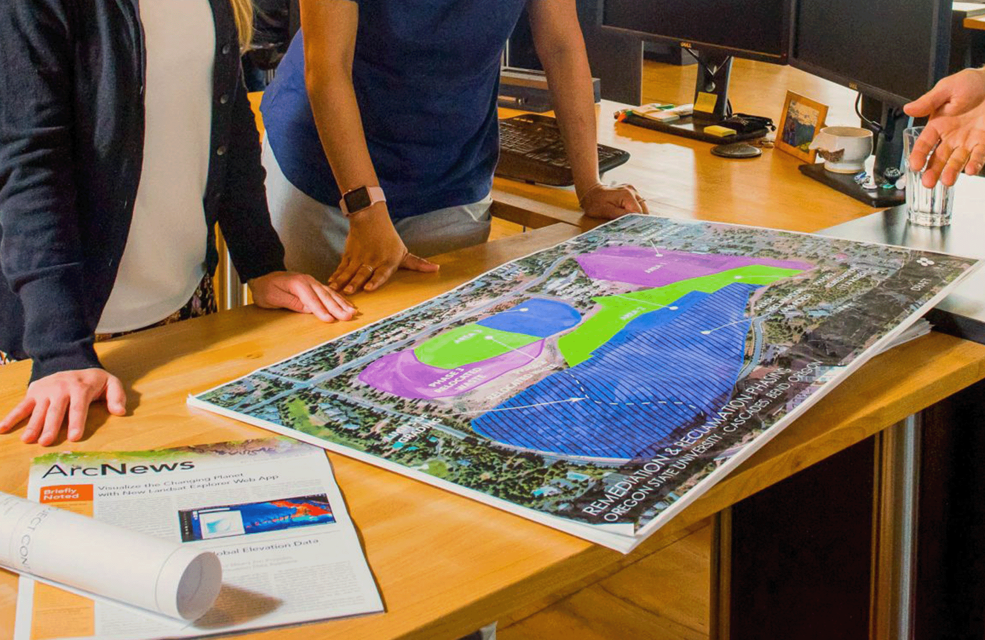
Industry-leading expertise
Our team possesses industry-leading expertise, backed by years of experience in GIS, data analytics, planning, education, and community engagement. We leverage deep knowledge and cutting-edge techniques to provide unmatched value and results for our clients.

Your success is personal to us
We are fully committed to understanding your unique needs and goals. We build strong, lasting relationships with our clients, ensuring personalized attention and tailored solutions that drive meaningful outcomes.

We start with your goal in mind
We focus on your vision from the very beginning to ensure every step aligns with your desired outcome. Our tailored services and strategies are designed to achieve your specific objectives, delivering effective and goal-driven solutions.
Contact
General Inquiries
Thanks for your interest in FLO. Whether you are looking to start a project, get support, or just have a general question, we'd like to hear from you. Please reach out and we will get back to you.